該工具將對海洋進行建模,提供對過去和現在的知識和理解,並對海洋未來的健康狀況做出可靠的預測。
數字孿生是現實世界實體或流程的數字表示。數字孿生使用實時和歷史數據來表示過去和現在,並創建模型來模擬未來場景。
歐洲數字孿生海洋的目標是通過為公民、企業家、科學家和政策制定者提供一套創新的用戶驅動、交互式和可視化工具,使他們能夠輕鬆獲得海洋知識。這些知識將有助於設計最有效的方法來恢復海洋和沿海棲息地,支持可持續的藍色經濟,緩解和適應氣候變化。
利用現有的歐洲科學和資產,歐洲 DTO 將提供一致的高分辨率、多維海洋描述。這包括其物理、化學、生物、社會生態和經濟方面,預測期從季節到數十年不等。
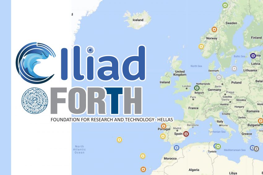
這 ILIAD 財團包括 56 個國際合作夥伴,將開發海洋的虛擬表示,將整合和擴展現有的歐盟地球觀測、建模數字基礎設施和計算設施,以提供對未來發展的高度準確預測。 https://www.forth.gr/en/news/show/&tid=2107
海洋伊利亞特數字孿生是歐盟資助的項目,建立在對藍色經濟政策和基礎設施進行了 20 年投資的資產之上,旨在建立一個可互操作、數據密集且具有成本效益的數字孿生海洋
Iliad 以包容、虛擬/增強和引人入勝的方式利用由許多不同地球觀測來源、先進計算基礎設施(雲計算、HPC、物聯網、大數據、社交網絡等)提供的新數據的爆炸式增長,解決所有地球數據挑戰。它將為第四次工業革命和海洋中心定義的可持續海洋經濟做出貢獻,該中心是全球多方利益相關者合作的中心。
海洋的伊利亞特數字孿生將融合大量不同的數據,採用語義豐富且與數據無關的方法,以實現與現實世界系統和模型的同時通信。本體和標準樣式分層描述符將促進語義信息和底層信息和知識的直觀發現,以提供無縫體驗。
地理可視化、沉浸式可視化和虛擬或增強現實的結合允許用戶以交互方式探索、合成、呈現和分析基礎地理空間數據
更多信息請訪問: https://www.ocean-twin.eu/
歐盟已向 ILIAD(用於海洋和海事數據和信息服務的集成數字孿生)授予 1700 萬歐元。這個國際項目將創建一個歐洲數字海洋雙胞胎 (DTO),它將高分辨率建模與海洋參數的實時傳感相結合。 https://www.bluelobster.co.uk/blog/eu-awards-euro17-million-to-iliad-a-new-high-profile-project-to-create-a-digital-twin-of-the-ocean/


