OpenSeaMap – the free nautical charts
Free nautical charts - OpenSeaMap
OpenSeaMap is a software project collecting freely usable nautical information and geospatial data to create a worldwide nautical chart. This chart is available on the OpenSeaMap website, and can also be downloaded for use as an electronic chart for offline applications. The project is part of OpenStreetMap.
Navigational programs
OpenSeaMap can be run on PCs (Computers, Laptops, Netbooks) with a variety of navigational programs: WinNav, SeaClear, OpenCPN, PolarView, OziExplorer, GPSMate, NOAA chart reprojector
OpenSeaMap - offline nautical navigation charts
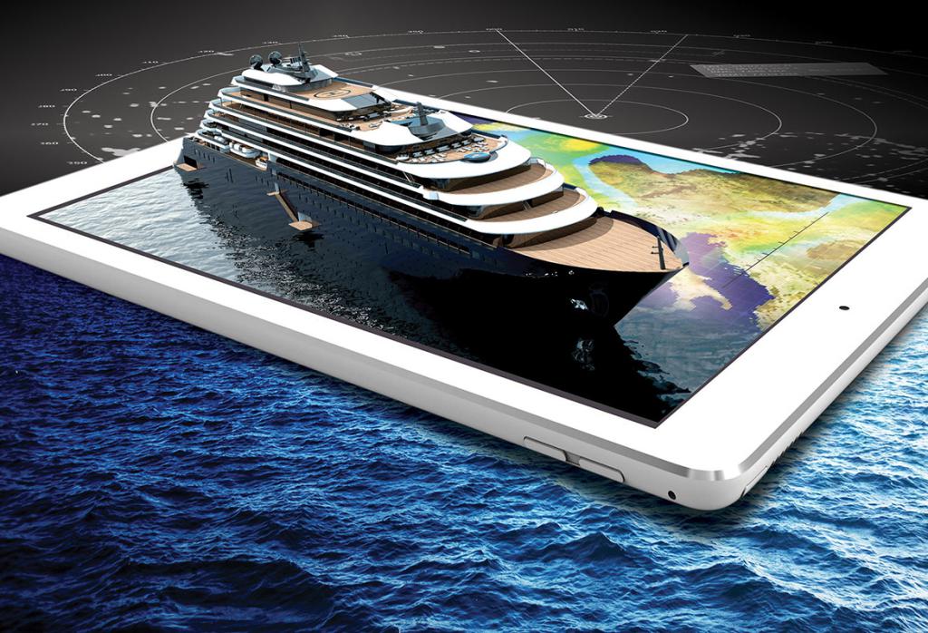
OpenSeaMap charts can be used on board even without access to internet - with a chart plotter from Garmin, Lowrance, Simrad, B&G. Together with a navigation program or an app also with an onboard-computer, a notebook, on Android tablet, iPad or Windows tablet. Also with smartphones and some GPS-devices.
(by OpenSeaMar.org) - "Good seamanship requires the use of official nautical charts. OpenSeaMap is for use with other charts and cannot replace official charts."
What is OpenSeaMap?
OpenSeaMap is an open source, worldwide project to create a free nautical chart available online. There is a great need for freely accessible maps for navigation purposes, so in 2009, OpenSeaMap came into life. The goal of OpenSeaMap is to record interesting and useful nautical information for the sailor which is then incorporated into a free map of the world. This includes beacons, buoys and other navigation aids as well as port information, repair shops and chandlerys. OpenSeaMap is a subproject of OpenStreetMap and uses its database. (see more at the official OpenSeaMap website )
--
Visit also :
OpenCPN is an Open-Source maritime navigation programme. OpenCPN (Open Chart Plotter Navigator) uses satellite navigation input data to determine the ship's own position and data from an AIS receiver to plot the positions of ships in the neighborhood. It supports various nautical chart formats and allows data transfer and GPS tracking as well.
Features: shows the actual ships position in the map, routing, operates an autopilot, displays AIS signals. Operates on machines running Windows and Linux.
OpenCPN is a project with the aim to create a concise nautical chart plotter and maritime navigation software to be used underway or as a marine route planning tool. It is developed by a team of active sailors using real world conditions for program testing and refinement. OpenCPN (free software) is community developed and supported software and is free for everyone to use. OpenCPN is written in C, C++ and can be freely used under license type GPL v2. The OpenSeaMap's free nautical charts can be used in the OpenCPN maritime navigation software which is also free.
GEBCO - GEBCO (General Bathymetric Chart of the Oceans) is an international organisation that develops bathymetric charts and scientific surveys on the sea bed. Creates a profile of the sea bed including water depths and depth contours on the basis of their data.
Free Nautical charts online:
OpenNauticalChart offers free Nautical Charts online for everybody. These marine charts are usable also offline with several ship-plotters and marine Navigation-equipment on board the maritime vessels. All base layer data originate from the OpenStreetMap project. These free Marine Charts are licensed under the Creative Commons Attribution.
Free PDF Nautical Charts online:
available online to download and print from NOAA (the free PDF marine charts are one product in NOAA’s Suite of easy-to-access maritime navigational products and services, which also includes print-on-demand paper charts, electronic navigational charts (NOAA ENC®), and raster navigational charts (NOAA RNC®).
Tag
Video
Location
Contact Information
-
March 20, 2022

-
February 14, 2022


-
February 14, 2022
-
February 14, 2022