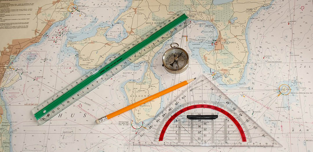
Why do marine charts need to be updated? Nautical Charts are ‘living’ documents. Information affecting the safety of navigation for mariners is constantly being received. Sometimes it is in the form of an individual report of a newly discovered danger, or a buoy or beacon has been moved or removed, while other times the change can be as large as an entire new survey. In all cases, the various national Hydrographic Offices have an obligation to publish details of new and altered information affecting the potential safety of mariners. Equally, many mariners have a legal obligation to apply these updates to their nautical charts – having your maritime navigation charts up-to-date is much more than a good idea actually for all vessels, ranging from large cargo ships to racing yachts.
Nautical charts are issued by power of the national hydrographic offices in many countries. These charts are considered “official” in contrast to those made by commercial publishers. Many hydrographic offices provide regular, sometimes weekly, manual updates of their charts through their sales agents
Correcting and upgrading a navigation chart is a constant process. Once a chart is published, constantly changing navigational features and aids or other relevant information have to be promulgated in order to update the ships navigating in those areas.
Updated nautical charts are obviously important to provide navigation safety to all end users

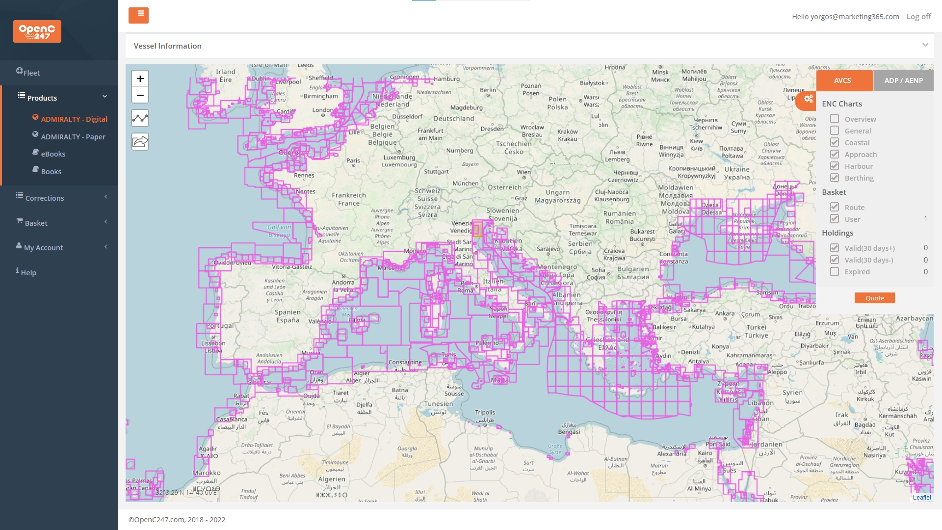
selection of nautical charts corrections & updates solutions from premium providers across the globe. A critical service for safe passage planning everywhere in the sea world


Provides global maritime geospatial intelligence in support of national security objectives, including safety of navigation, international obligations: Notice to Mariners, Publications, Navigational Warnings, Piracy, Maritime Products Catalogs, Nautical Calculators... https://msi.nga.mil/


Features shown on charts change, either because they are man made, or due to natural changes. Therefore, it is essential that our charts are corrected, or updated regularly.
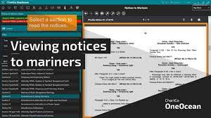
The situation at sea changes continuously. The Hydrographic Service monitors changes and publishes the necessary corrections to its publications in order to give mariners information about the current situation. It does so by issuing Notices to Mariners.
Applying corrections to Charts and Nautical Publications - Notices to Mariners (NtM): you can keep your charts and nautical publications up to date using the frequent releases of Notices to Mariners produced by the various national Hydrographic Offices or commercial publishers.
Notices to Mariners (NtM) are corrections to nautical charts and publications. NtM only contain information which is vitally important to safety at sea. Mariners are obliged to keep their products up-to-date with NtM until a new edition is issued. A notice to mariners (NTM or NOTMAR) advises mariners of important matters affecting navigational safety, including new hydrographic information, changes in channels and aids to navigation, and other important data. Over 60 countries which produce nautical charts also produce a notice to mariners. About one third of these are weekly, another third are bi-monthly or monthly, and the rest irregularly issued according to need.
Various ways to update and keep corrected the marine Charts and Nautical Books/Publications onboard your ship vessel:
Weekly Notices to Mariners
Cumulative List of Notices to mariners
Annual Summary of Notices to Mariners
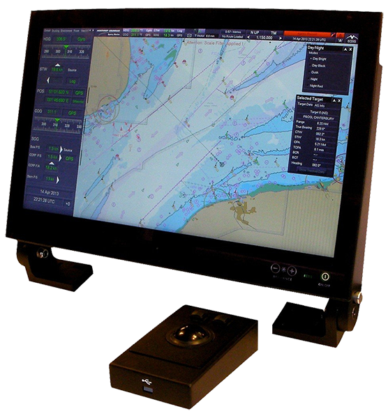
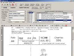
Chart Corrections software and computer
There is an offline database and software in use onboard ships where corrections are supplied in the form of weekly mail attachments. These are used to keep the chart correction database up to date exactly like the paper copy of Weekly Notices to Mariners
Navarea Warnings
Navtex Warnings
A close companion to the Notice to Mariners is the Summary of Corrections. The Summary is published in five volumes. Each volume covers a major portion of the earth including several chart regions and many subregions. Volume 5 also includes special charts and publications corrected by the Notice to Mariners. Since the Summaries contain cumulative corrections, any chart, regardless of its print date, can be corrected with the proper volume of the Summary and all subsequent Notice to Mariners.
See details at: https://www.marineinsight.com/marine-navigation/what-are-the-methods-to-update-navigation-charts-on-board-ships/


OPENC247 - the smarter way to sail!
PAPER & DIGITAL & NAUTICAL CHARTS
Nautical Charts, Charts Corrections and Marine Publications
No Subscription. No Commitment. Complete Flexibility - 24/7
AVAILABLE ONLINE 365/24/7 on ANY DEVICE (mob, tab, desktop)
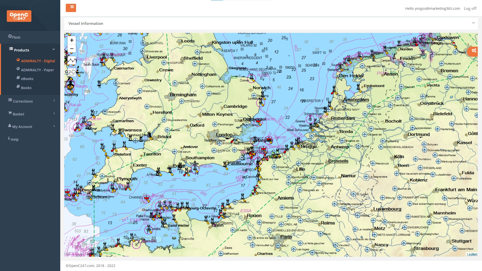
A fresh concept in access to Digital Charts and Paper Charts and Publications for your bridge.
Perfect for every captain of a leisure or commercial ship, any vessel – from a super yacht to a super tanker
You can get immediate access to what you need without subscription or hassle. Remain compliant, save time, save money.
Simply register (Registration is FREE - No Subscription / No Recuring Fees), try the FREE service, see transparent pricing and pay online only for the nautical charts you use. Plus, compiled charts corrections and updates are completely free.


Find all top providers of Marine Navigation products & services for safe Maritime Voyage Planning