This tool will model the ocean and provide knowledge and understanding of the past and present and will create credible predictions of the ocean's future health.
A digital twin is a digital representation of real-world entities or processes. Digital twins use real-time and historical data to represent the past and present, and create models to simulate future scenarios.
The European Digital Twin Ocean's ambition is to make ocean knowledge readily available to citizens, entrepreneurs, scientists and policy-makers by providing them with an innovative set of user-driven, interactive and visualisation tools. This knowledge will help design the most effective ways to restore marine and coastal habitats, support a sustainable blue economy and mitigate and adapt to climate change.
Leveraging on existing European science and assets, the European DTO will provide consistent high-resolution, multi-dimensional descriptions of the ocean. This includes its physical, chemical, biological, socio-ecological and economical dimensions, with forecasting periods ranging from seasons to multi-decades.
It will transform data into knowledge for everyone's benefit. https://ec.europa.eu/info/research-and-innovation/funding/funding-opportunities/funding-programmes-and-open-calls/horizon-europe/eu-missions-horizon-europe/healthy-oceans-seas-coastal-and-inland-waters/european-digital-twin-ocean-european-dto_en

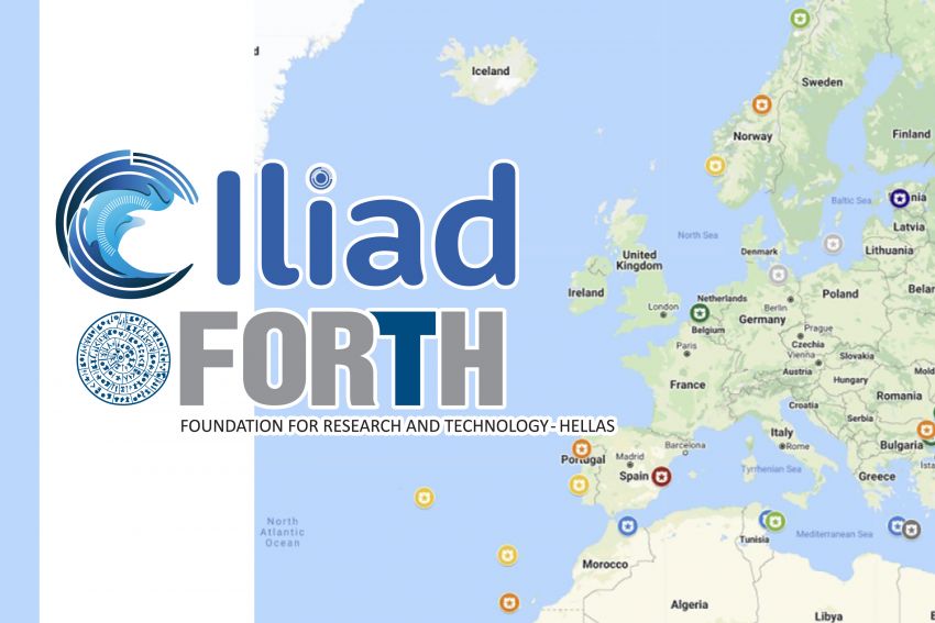
The ILIAD consortium, which includes 56 international partners, will develop virtual representations of the sea that will integrate and extend existing EU earth observing, modelling digital infrastructures and computing facilities to provide highly accurate predictions of future developments. https://www.forth.gr/en/news/show/&tid=2107

The Iliad Digital Twin of the Ocean is an EU funded project, builds on the assets resulting from two decades of investments in policies and infrastructures for the blue economy and aims at establishing an interoperable, data-intensive, and cost-effective Digital Twin of the Ocean
Iliad capitalises on the explosion of new data provided by many different Earth observation sources, advanced computing infrastructures (cloud computing, HPC, Internet of Things, Big Data, social networking, and more) in an inclusive, virtual/augmented, and engaging fashion to address all Earth data challenges. It will contribute towards a sustainable ocean economy as defined by the Centre for the Fourth Industrial Revolution and the Ocean, a hub for global, multi-stakeholder co-operation.
The Iliad Digital Twin of the Ocean will fuse a large volume of diverse data, in a semantically rich and data agnostic approach to enable simultaneous communication with real world systems and models. Ontologies and a standard style-layered descriptor will facilitate semantic information and intuitive discovery of underlying information and knowledge to provide a seamless experience.
The combination of geovisualisation, immersive visualization and virtual or augmented reality allows users to explore, synthesize, present, and analyze the underlying geospatial data in an interactive manner
See more at: https://www.ocean-twin.eu/
The EU has awarded €17 million to ILIAD (Integrated Digital Twins for Marine and Maritime Data and Information Services). This international project will create a European Digital Twin of the Ocean (DTO) that will combine high-resolution modelling with real-time sensing of ocean parameters. https://www.bluelobster.co.uk/blog/eu-awards-euro17-million-to-iliad-a-new-high-profile-project-to-create-a-digital-twin-of-the-ocean/


Find all top providers of Marine Navigation products & services for safe Maritime Voyage Planning